About the GREN Global Map Working Group
The GREN Global Map working group of volunteers from the R&E Networking community, working on data formats and applications facilitating collaborative, interactive network maps.
The initial criteria for the success of the delivered visualisation product are:
- A dynamic/interactive map (zoomable with selectable layers and sections), which also supports printed versions;
- The ability to show intra- and inter-NREN nodes and connections, including some meta information (e.g. link speed);
- The ability to show connected institutions and major science infrastructure and instruments;
- A model where data is maintained by individual (N)REN operators and collected automatically, in a common format, in order to reduce update overhead; and
- Achieving a critical mass of participation.
Meeting Schedule:
(Meetings are to be held approximately bi-weekly
Monday, October 29, 2018 14:00 UTC via Zoom (connection details distributed by e-mail) - Meeting Notes
Special User Stories Review: Monday, November 5, 2018 13:00 UTC via Zoom (connection details distributed by e-mail) — Meeting Notes
Tuesday, November 20, 2018 13:00 UTC via Zoom (connection details distributed by e-mail) — Meeting Notes
Tuesday, December 4, 2018 13:00 UTC via Zoom (connection details distributed by e-mail) — Meeting Notes
Meeting Notes
Tuesday, December 18, 2018 13:00 UTC via Zoom (connection details distributed by e-mail) — Meeting Notes
Existing Maps
This is not an exclusive list. It is recognised that most networks have a static or dynamic map. We have identified the following examples in order to gather initial requirements for our efforts:
- GÉANT Interactive map:
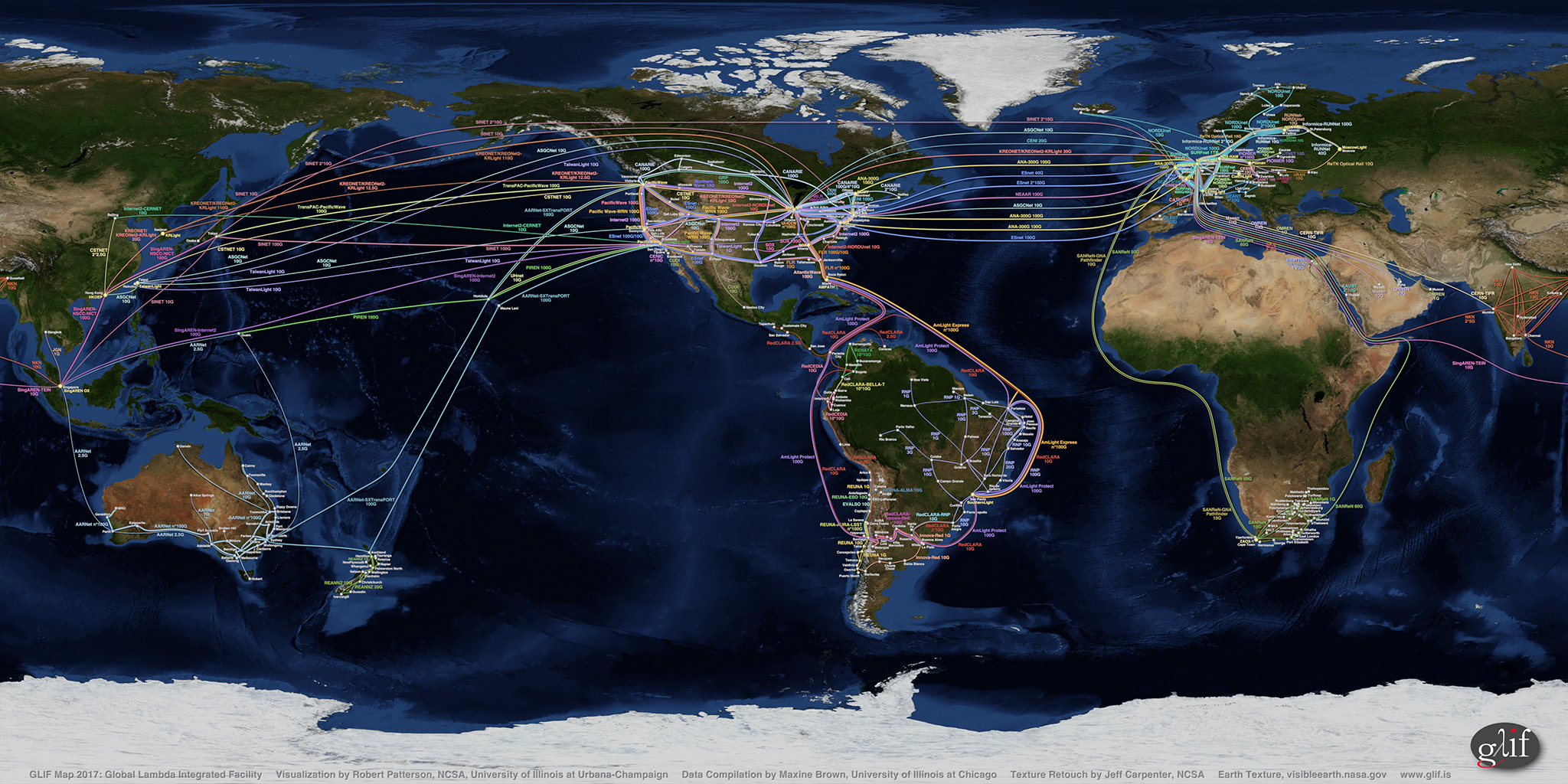
http://map.geant.org/ - GLIF map (static, artist-rendered):
https://www.glif.is/publications/maps/GLIF2017_World_2k_9-21.jpg - Global Research Map:
https://globalresearchmap.org/ - GNA Phase I compliancy map (static, artist-rendered):
https://gna-re.net/wp-content/uploads/2017/06/GNA-CI-GXPs-and-links-29-May-2017.jpg - TeleGeography map:
https://www.submarinecablemap.com/ - NetSage:
https://portal.netsage.global/